Church Forest near Debre Tabor as seen in Google Earth
Church forest near Debre Tabor, Ethiopia. Google Earth 3D and Google Maps 2D view:


Church forest near Debre Tabor, Ethiopia. Google Earth 3D and Google Maps 2D view:
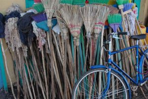
Short pictorial guide to our first “base camp”, Hotel Ghion, in the town of Bahir Dar in Ethiopia:
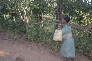
In the northeastern highlands of Ethiopia, agriculture and encroaching desert has replaced most of the original dry Afro-montane forests. These remaining patches of forest usually surround the Ethipian Orthodox Tewahido churches, since they are considered sacred and spiritual. Some of these church forests are over 1500 years old, and their size ranges from 3 acres […]
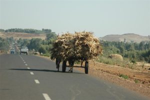
On Saturday, Ethiopians walk to market, to trade goods and to have social interaction. But for many , the walk is tens of miles — and conditions are dusty, hot, and rugged on the feet (especially without shoes). The scenery is breath-taking, but obviously no one is taking pictures or stopping to admire the view, […]
When my Ethiopian colleague, Dr. Alemayehu Wassie Eshete, visited me at New College of Florida, he made the amazing discovery of Google-Earth. Subsequently, he stayed up into the wee hours of the night, printing out Google images of many of the church forests for which he had studied. He was amazed, and we were both […]